What I offer
I offer expert consultancy on a wide range of services from remote sensing and GIS to science dissemination. Read below to know more.
Remote sensing
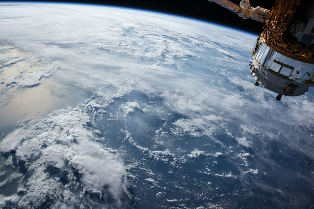
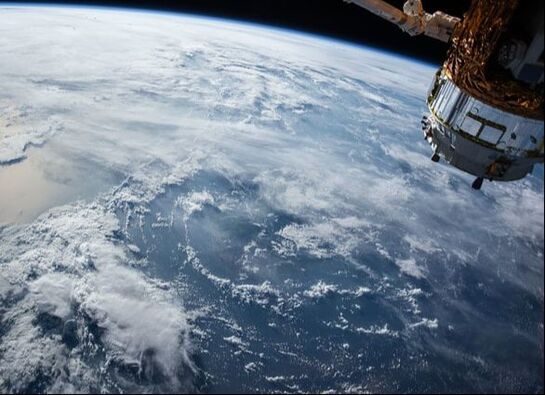
Get to know your area by looking at it from space. With literally hundreds of variables to explore (from sea temperature to wind speed) you can discover and understand any region of the world, perform environmental surveys and carry out long-term monitoring. Because remote sensing covers so much ocean, it puts a wealth of information into the hands of decision-makers. For example, water temperatures are changing throughout the world: you can use remote sensing to map these changes and identify which areas are getting warmer. I can guide you through a portfolio of imagery available for your area, gather the information and present it in a format that suits your needs.
Get to know your area by looking at it from space. With literally hundreds of variables to explore (from sea temperature to wind speed) you can discover and understand any region of the world, perform environmental surveys and carry out long-term monitoring. Because remote sensing covers so much ocean, it puts a wealth of information into the hands of decision-makers. For example, water temperatures are changing throughout the world: you can use remote sensing to map these changes and identify which areas are getting warmer. I can guide you through a portfolio of imagery available for your area, gather the information and present it in a format that suits your needs.
Spatial analyses and GIS
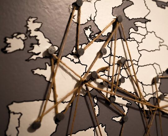
Much of the information around us has a spatial component. A Geographic Information System (GIS) is a system designed to capture, store, manipulate, analyze, manage, and present spatial or geographic data. Using these systems, you can ask complicated questions to gain deeper insights using spatial analyses, including site selection and feasibility studies. For example, GIS and spatial analyses can be used to answer questions like: Where is the most suitable place to locate a shrimp farm? A handful of seemingly unrelated factors - sea temperature, depth, habitat type- can each be modeled as layers, and then analyzed together to produce an answer. I can assemble a GIS for your region. The number of questions that can be answered using this valuable information is endless!
Much of the information around us has a spatial component. A Geographic Information System (GIS) is a system designed to capture, store, manipulate, analyze, manage, and present spatial or geographic data. Using these systems, you can ask complicated questions to gain deeper insights using spatial analyses, including site selection and feasibility studies. For example, GIS and spatial analyses can be used to answer questions like: Where is the most suitable place to locate a shrimp farm? A handful of seemingly unrelated factors - sea temperature, depth, habitat type- can each be modeled as layers, and then analyzed together to produce an answer. I can assemble a GIS for your region. The number of questions that can be answered using this valuable information is endless!
Fisheries management
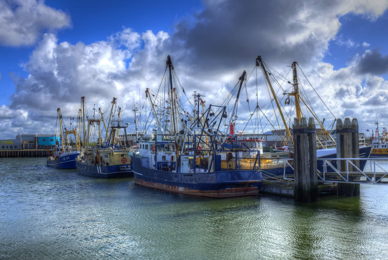
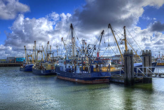
It is possible to produce tools to promote sustainable exploitation of marine resources drawing on fisheries science. Fisheries management is a broad subject. My work focuses at the two ends of the spectrum: understanding how fish populations are connected, can crash following overexploitation and recover after management is implemented using population models, and understanding how fishers use the resource by following and mapping their movements using GPS positional data.
It is possible to produce tools to promote sustainable exploitation of marine resources drawing on fisheries science. Fisheries management is a broad subject. My work focuses at the two ends of the spectrum: understanding how fish populations are connected, can crash following overexploitation and recover after management is implemented using population models, and understanding how fishers use the resource by following and mapping their movements using GPS positional data.
Marine spatial planning
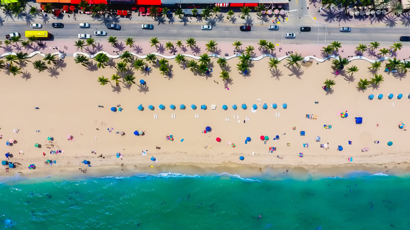
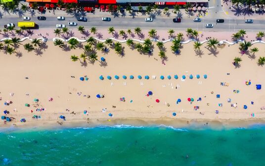
The ocean is used by many people (e.g. by fishers, divers or cruise holiday makers). Marine Spatial Planning brings all the users together to make decisions about how to use marine resources sustainably, balancing the needs of all of them. For example, many countries have committed to protect a portion of their oceans in Marine Protected Areas. Marine Spatial Planning can help to identify areas to protect that will minimize conflict among users. I offer marine spatial plans to help in your decision making process using software such as Marxan.
The ocean is used by many people (e.g. by fishers, divers or cruise holiday makers). Marine Spatial Planning brings all the users together to make decisions about how to use marine resources sustainably, balancing the needs of all of them. For example, many countries have committed to protect a portion of their oceans in Marine Protected Areas. Marine Spatial Planning can help to identify areas to protect that will minimize conflict among users. I offer marine spatial plans to help in your decision making process using software such as Marxan.
Dissemination and scientific illustration
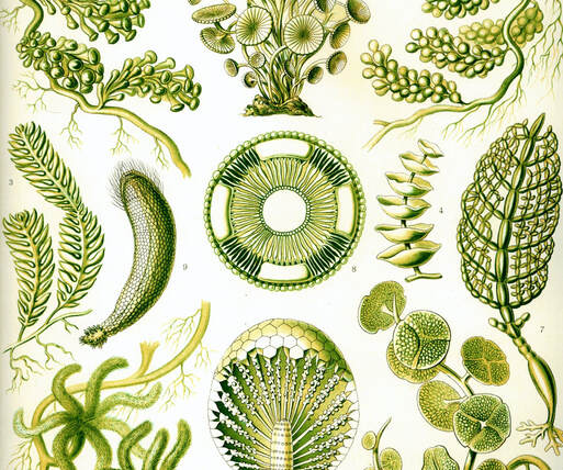
Spreading science widely is something that moves me and drives much of my work. I enjoy making science available to the wider community through targeted text and imagery. This includes management and policy leaflets and briefs (two pagers directed to policy makers, managers and the general public), scientific illustration in digital format, ink and watercolor.
Spreading science widely is something that moves me and drives much of my work. I enjoy making science available to the wider community through targeted text and imagery. This includes management and policy leaflets and briefs (two pagers directed to policy makers, managers and the general public), scientific illustration in digital format, ink and watercolor.
Iliana Chollett © 2019
West of Ireland
West of Ireland
